
Walk a Batavia Street by Address
A reliable street search moves from place to record, not from a name to a guess. First confirm the address as written today. Then determine whether the parcel is in Kane or DuPage County. That choice controls the assessor, map, Recorder, election office, and clerk that hold the next record. A mailing address that says Batavia does not settle the county or prove that the parcel lies inside the city.
Use this sequence for a Batavia street directory search. Save the exact query, date, PIN, and document number at each handoff. A PIN is the parcel identification number assigned for tax and map records.
- Validate the full address, including direction, street type, and unit, then check the City map for corporate limits and county.
- Open the appropriate county parcel search and copy its canonical PIN, situs address, owner field, and mailing address.
- Confirm the parcel on KaneGIS4 or the DuPage Parcel Viewer and inspect nearby parcels only as geography.
- Carry the PIN, legal description, or owner name into the correct Recorder index to locate recorded transfers.
- Use voter, permit, and historical directory records only for the narrow facts each source lawfully reveals.
The result is a chain of dated evidence. It is not a household roster. A tax owner can live elsewhere, a voter search has limited public output, and a directory entry reflects one edition.
Search Batavia Streets in DevNet
For a Kane-side parcel, the Kane County DevNet wEdge search accepts an address, owner, or parcel number. The address controls are more exact than one free-text box. Split the house number, street name, street type, and city into their own fields. If the address is inconsistent, try the PIN with and without dashes. The assessor says tax data is available back to 2004, but an assessment record is not a title opinion.
| Search control | Entry type | Street-use note |
|---|---|---|
| Parcel Number | PIN, with or without dashes | Best handoff to maps and recorded instruments |
| Owner Name | Name text | Identifies the assessment owner, not all occupants |
| House Number | Number | Pair with street name and type |
| Street Name | Name text | Keep direction separate when the source does |
| Street Type | ST, RD, AVE, and similar choices | A wrong type can cause a blank result |
| City | Municipality text | Does not replace the county check |
The parcel card separates the situs address, the land's physical location, from the owner's mailing address. Those fields may differ. It can also show tax and assessment facts, sale history, and the PIN. Treat each field as a lead to its source record.
The Kane property address locator shows the address-first portal used for parcel routing.
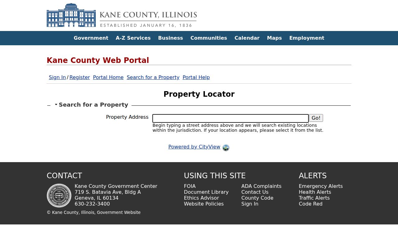
Its address result should be carried into DevNet and GIS rather than treated as a boundary decision by itself.
Map Batavia Street and Parcel Layers
The City of Batavia map index links subdivision, parcel, ward, zoning, historic-district, TIF, county, FEMA, and Census maps. These layers answer a key street-directory question: where is the address in relation to government boundaries? Batavia's ArcGIS service includes county codes for Kane and DuPage, address points, streets, parcels, subdivisions, corporate limits, wards, and ZIP-side street attributes.
The city map catalog makes the available geography visible before a user opens a specific layer.
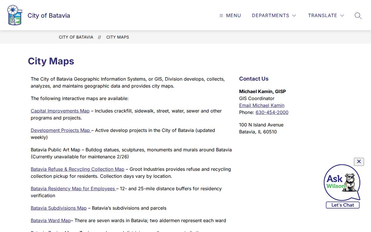
Use those maps to select the right custodian and to preserve a subdivision or ward label. The City's data disclaimer still applies, and a GIS map is not a land survey.
KaneGIS4 adds Parcel, Address, and Subdivision modes, aerial and hybrid views, PIN information, parcel labels, reports, and a buffer tool. It is useful for seeing a full named street or checking an adjacent parcel. Recorded plats and legal descriptions remain the stronger evidence for legal identity.
The Batavia public base-map layers expose the county and street fields behind the map.
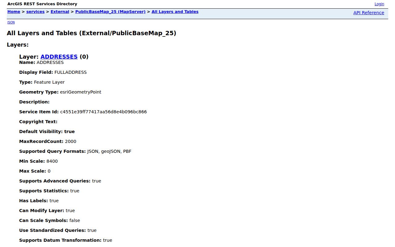
That technical view confirms that the map is a set of place records, not a person index.
Batavia Records Keyed by Street
Several public systems accept an address or parcel clue, yet each answers a different question. The table keeps their limits clear. Online portals are only one channel. Kane Recorder also offers six public research computers, copies, and FOIA service; DuPage has public terminals; the City accepts online, email, phone, and in-person FOIA requests.
| Address record | Official keeper | Useful result | Access route |
|---|---|---|---|
| Assessment card | Kane Assessment Office or DuPage property database | PIN, owner, situs and mailing fields, tax facts | Web search, office inspection, or phone |
| Parcel geography | KaneGIS4, DuPage viewer, City GIS | Parcel, subdivision, ward, county, limits | Free viewers and city map files |
| Recorded deed | Kane or DuPage Recorder | Parties, instrument, date, legal description | Online index, office terminal, copies, FOIA |
| Election geography | Kane or DuPage election office | Limited registration status, precinct and districts | Public lookup under Illinois limits |
| Permit or code file | City of Batavia | Public project or address evidence | One Stop, department contact, or FOIA |
| Historical directory | Library or Historical Society | Dated name and address listing | Mainly in person or research request |
No single row proves who lives at an address now. Strong work labels the relationship precisely: recorded owner, mailing addressee, registered voter match, permit applicant, or directory listing.
Route DuPage-Side Batavia Addresses
Batavia's Kane and DuPage split is the street directory's most important geography rule. Once GIS places a parcel in DuPage, use the DuPage property, Recorder, election, clerk, and court systems. The DuPage Recorder search accepts last and first name, subdivision or business name, street number, direction, street, city, a four-part PIN, document number, document type, and dates. At least one field must be completed.
The DuPage index and digital images begin March 16, 1961. Older title work therefore moves to the Recorder's public terminal or archive rather than ending at a blank web result. This differs from Kane, where the Recorder says the permanent property archive reaches 1837 but does not state the exact online historical cutoff.
The source page shows how a DuPage address is broken into separate controls.
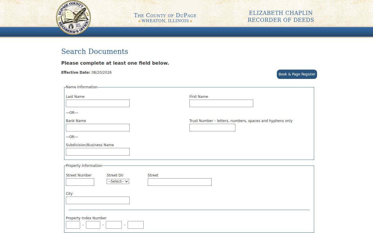
Capture the returned document number, parties, type, and date before following a transfer backward or forward.
Follow Batavia Parcels into Deeds
The Kane County Land Records Search supports name, document number, PIN, grantor and grantee, instrument, subdivision, tract, plat, and related advanced paths. A grantor transfers an interest; a grantee receives it. The detail schema can include document date, instrument description and number, parties, PINs, subdivision, block and lot, section-township-range, remarks, related documents, property address, and image access.
Start with the PIN from the parcel card. If that fails, use the legal description or the current owner's name. Record one deed, then search the grantor as a grantee in an earlier transfer. Repeat only while the parcel identity stays consistent. A plat is a recorded map dividing land into lots and blocks, and it can bridge a changed street label.
- Parcel
- A mapped tract of land identified for tax and record purposes.
- Situs address
- The physical location of the land, distinct from the owner's mailing address.
- Plat
- A recorded subdivision map that identifies lots, blocks, streets, and easements.
- Criss-cross directory
- A directory arranged by street or address, when a particular volume includes that section.
The Kane Recorder research area is open weekdays and provides public computers. For an older gap, use the counter, the Recorder FOIA route, or a copy request with the document number and date.
Check Batavia Civic Address Records
The Batavia One Stop Shop has application, payment, renewal, advanced-search, inspection, open-data, permit, license, project, and violation modes. Exact public result fields vary because the portal is dynamic. A permit can document work at a site or identify a public applicant, but it does not establish every resident. Contact the relevant city department when the portal has no usable result.
The Kane voter search accepts last name, house number, and street name. Its public result concerns registration status, polling place, precinct, districts, and a sample ballot. Illinois law restricts voter-file disclosure and use. Never convert one narrow result into a household claim.
For a missing municipal file, the City FOIA process accepts online, email, phone, and in-person requests. State the exact address, date range, and record type. Illinois public bodies generally respond within five business days and may take a qualifying extension.
Read Older Batavia Street Listings
Historical address work belongs in dated sources. The Batavia Public Library holds Tri-City directories from 1910 to the present, phone directories from 1916 through 1956, newspapers, Kane census microfilm, atlases, and plat books. The Historical Society has assorted directories beginning with 1857, specific 1859-60 material, phone books, and structure histories. Not every volume is confirmed to contain a separately titled reverse section.
Open the street or address index first when one exists. Copy the exact spelling, house number, year, page, name, and the volume's abbreviation key. Then test the address against a plat, deed, newspaper, census, structure history, or the 1916 Sanborn map. An entry means the person was listed there in that edition. It does not prove uninterrupted occupancy.
No official source in the research confirms a Batavia-wide street renumbering project. When old and new forms differ, search council minutes, ordinances, plats, maps, and directories rather than inventing a conversion rule. The full shelf is described on the Batavia city directory page.
Limits of a Batavia Street Directory
Official tools do not publish a complete list of non-owner occupants, household members, visitors, utility customers, private association members, protected voters, or current contact preferences. Parcel maps show land. Tax cards show an assessment relationship. Deeds show recorded interests. A voter result shows limited civic status. Historical directories show dated listings. Keeping those labels intact is the best defense against a false match.
Lawful use. Use Batavia street and address records only for lawful personal research, and never to stalk, harass, threaten, or harm any person.
Illinois's Address Confidentiality Program can place a substitute address in new state and local records for qualifying survivors and household members. It does not erase all earlier records and cannot guarantee confidentiality in property records. The Kane Recorder also has a personal-information redaction request for qualifying recorded documents.
A blank search is not proof that no record or person exists. Recheck the county, street type, direction, spelling, PIN format, date span, and online cutoff. Then use the counter, a narrow records request, or the local-history room. That fallback preserves accuracy without publishing a speculative resident list.