
Look Up Batavia Neighbors
Official sources describe a Batavia block in layers. KaneGIS4 can locate the starting parcel and nearby land. The assessment roll ties a parcel to an owner or billing name. City maps show subdivisions, wards, zoning, historic districts, TIF areas, county attributes, and other boundaries. The public voter tool returns registration and election geography only after a narrow name-and-address match. Community pages identify civic routes rather than member households.
| Official source | Block-level evidence | How it is reached |
|---|---|---|
| KaneGIS4 and assessor buffer | Nearby parcels, mailing addresses, subdivision, street, and map context | Free web viewer and official buffer instructions |
| Kane DevNet | Owner or billing name, situs address, mailing address, PIN, and tax fields | Free parcel search by PIN, address, or owner |
| Batavia city maps | Parcels, subdivisions, wards, zoning, historic districts, TIF, and county context | City map index and ArcGIS layers |
| Kane voter search | Registration status, precinct, polling place, districts, and sample ballot for a matched voter | Narrow public lookup; not a downloadable block roster |
| Civic and history sources | Public group contacts or dated past households, depending on the source | Police, library, local-history, directory, and records-request routes |
The labels matter. A tax-roll owner is not necessarily a current occupant. The assessor buffer's “Mail” result is a parcel and mailing-address list, not a list of neighbors. A voter match confirms election status and geography for the queried person, not everyone at an address. Keep the source date and field label beside every result.
Buffer Batavia Neighbor Parcels
The Kane assessor's buffer instructions provide the clearest official radius method. Enter an address or PIN in the map, open the gold PINInfo dialogue, enter a distance in feet, and use the Mail function. Choose a small, stated distance. A large radius can cross a street, ward, subdivision, municipal line, or county boundary and answer a different question.
- Resolve the starting address to one PIN. Save the selected parcel and query date.
- Open PINInfo and set a short buffer distance in feet. Record that distance with the result.
- Run Mail to list parcels and mailing addresses inside the radius.
- Use Kane DevNet when an owner-name search is needed. The GIS tool and assessment roll serve different tasks.
- Classify land as residential, institutional, park, commercial, or vacant only when the map or parcel description supports that label.
The manifest capture below comes from the official buffer instructions.
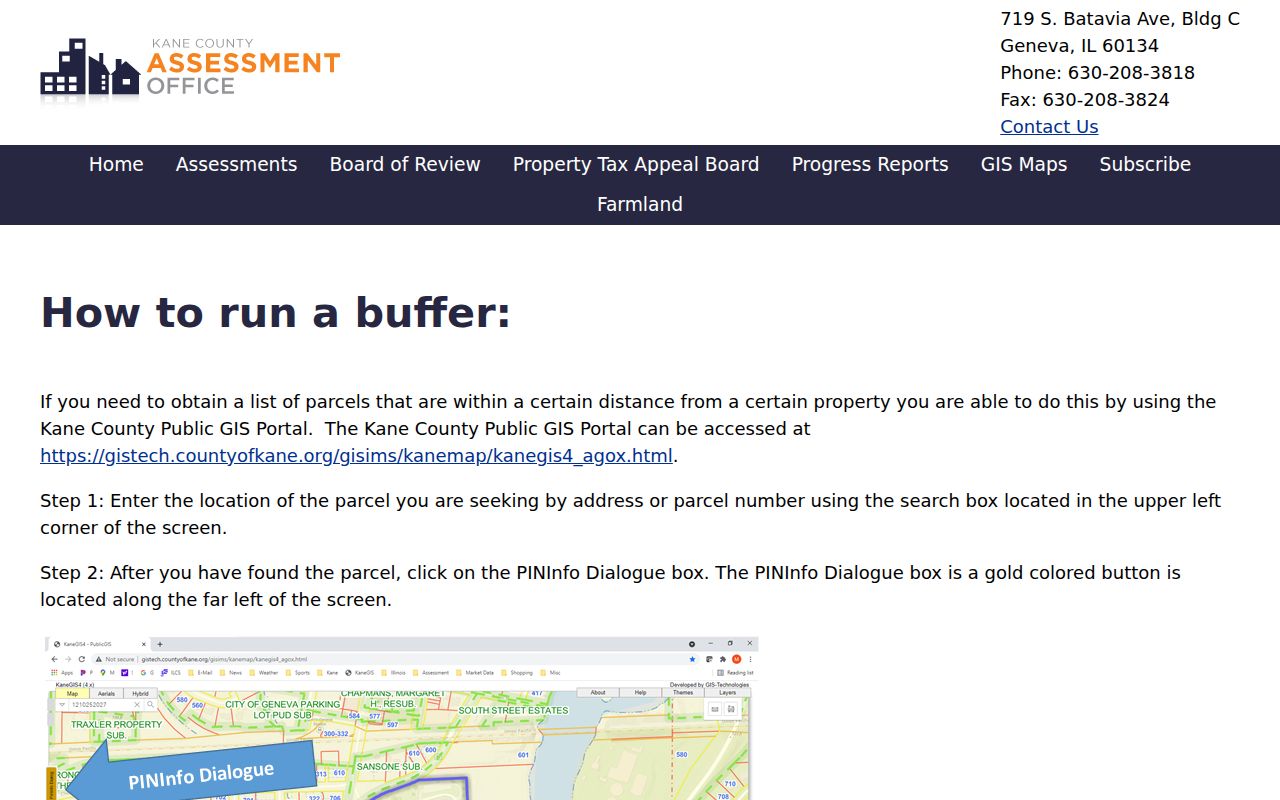
It shows why the result should be reported as nearby parcel geography, not as proof of who lives next door.
Map Batavia Neighbor Parcels
Begin with the parcel, then widen the view. KaneGIS4 supports parcel, address, and subdivision searches plus parcel, ward, county, street, subdivision, and other layers. Map and aerial views help orient the block. Its parcel boundaries are not a survey, and a recorded plat or survey controls when exact boundaries matter.
A compact process is: address → PIN → adjacent parcels → owner or billing name → subdivision and jurisdiction layers. Check the mailing and situs fields separately. If the full named street becomes the subject, use the Batavia street directory workflow instead of stretching a small buffer into a streetwide result.
Batavia's Kane and DuPage split can run close to the block being checked. The City GIS county field should route a DuPage parcel to DuPage property, recorder, election, clerk, and court systems rather than Kane's portals.
Read Batavia Neighbor Records
The City of Batavia map index adds local context that a postal city name cannot. Available subjects include subdivisions, parcels, seven wards, zoning, historic districts, TIF areas, county, FEMA, and Census maps. The ArcGIS base-map service also exposes county-coded streets, addresses, corporate limits, parcels, and subdivisions.
Shared geography does not create a personal relationship. Two parcels in one subdivision or ward are nearby in an official layer, but that fact does not prove shared association membership. A Batavia postal label also does not settle whether the property lies inside the city or which county keeps the record.
Note: Save the active map layers and date, because a screenshot without its layer names can blur parcel, postal, ward, and city boundaries.
Contact Batavia Civic Neighbors
The public community layer is based on organizations and services, not a resident roster. Batavia Police explains how residents can organize a Neighborhood Watch. The library maintains a community-information directory. Official council and planning records mention Tanglewood, Normandy Estates, and Winding Creek or its special service area, but those dated references do not prove a current association or reveal current members.
Neighborhood Watch
Batavia Police Neighborhood Watch is the official route for organizing block-based safety contacts. It is not a household directory.
Community Directory
Batavia Public Library community information lists civic resources and public contact paths, not members.
Subdivision Records
City maps, council minutes, plans, and recorded plats can confirm a subdivision or SSA name. Ask the City for a dated public organization record when needed.
The official Neighborhood Watch page is also captured in the project's image set.
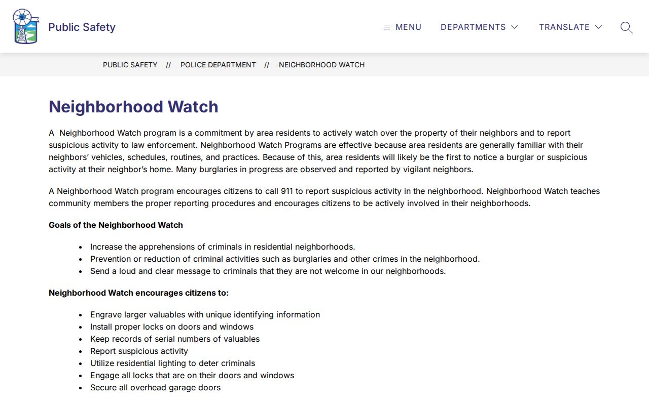
Its civic purpose is a better match for meeting neighbors than attempting to compile private household names.
Place Batavia Neighbors in Precincts
The Kane public voter search is a narrow verification tool. It can return registration status, precinct, polling place, voting districts, and sample-ballot information after matching a surname, house number, and street. It does not publish an unrestricted block list. Illinois election law limits voter-file disclosure, redacts sensitive fields, imposes an election-period blackout, and restricts use.
Kane voter statistics supplies aggregate election context without claiming who occupies a home. The captured screen below is useful for understanding that distinction.
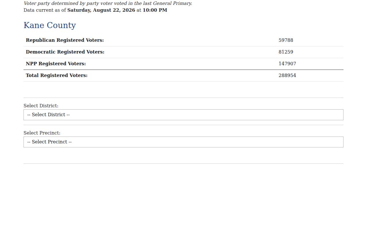
Use totals or district labels for civic context, and reserve individual lookup for a specific lawful verification.
Compare Batavia Neighbor Tools
Official records and commercial neighbor tools make different claims. The first group identifies the custodian, field, and date. Commercial products may blend address histories, parcel data, marketing files, possible associates, and licensed datasets into a radius result. A polished map does not cure stale, inferred, or merged data.
| Route | Best supported result | Main limit |
|---|---|---|
| Official GIS and assessment rolls | Parcel, recorded owner, mailing address, and mapped geography | Owner and occupant may differ; lines are not surveys |
| Official voter and civic sources | Matched voter's election geography or public organization contact | No citywide member or household roster |
| Commercial category | Convenient compiled leads | Source, date, and inferences may be unclear; not proof of occupancy |
For Batavia neighbors, use GIS for geography and a narrow custodian request for an existing public document. Do not treat a compiled product as authority.
Rebuild Past Batavia Neighbors
A historical block requires a year. City directories, telephone books, census schedules, newspapers, plats, Sanborn maps, and deed chains can show who was listed nearby at that time. Batavia Public Library and the Gustafson Research Center hold the strongest local mix. Address forms and buildings can change, so retain the printed street spelling and compare lot or block evidence before using a modern parcel.
Historic neighbors should be presented as dated entries, not as a current network. A directory listing may name a householder; a census may show a household; a deed names a title party. Each source needs its own label. This protects accuracy and keeps the block's story tied to evidence.
Protect Privacy of Batavia Neighbors
Parcel ownership, mailing addresses, and map layers do not authorize a list of current occupants. Utility, delivery, school, and other private account data are not public block directories. Illinois's Address Confidentiality Program lets qualifying survivors and household members use a substitute address in new state and local records. Participants may be omitted from public voter lists, although the program does not erase old records and cannot guarantee property-record confidentiality.
Show the parcel, subdivision, ward, precinct, or public civic contact when that answers the question. Suppress a compiled bundle of personal addresses, phone numbers, emails, and family links. If an official record is wrong, seek correction or redaction through its custodian rather than spreading the error.
Lawful use. Research Batavia neighbors for civic contact, block history, or personal safety awareness. Never use public records to watch, intimidate, stalk, or harass anyone.